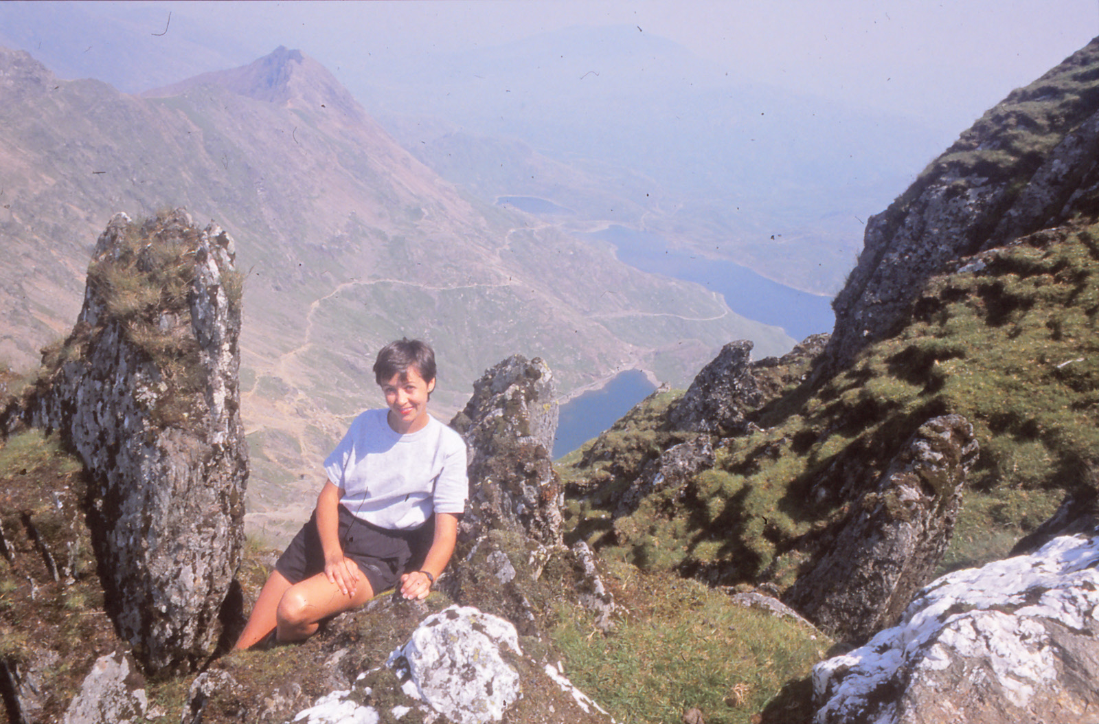
Twenty some years ago, when we were, um... in our teens, Rene and I clambered to the top of Snowdon, the highest mountain in Wales at some 3560 ft. above sea level. While lounging around on the summit with some other hikers (on what was a spectacularly beautiful day) we learned that a bus ran around the base of the mountain, meaning we could descend by a completely different route and catch a ride back to our car. Fabulous! We headed down the opposite flank of the mountain, soaking up all the new views along the way, and arrived at the base around 5:00 pm. Sadly, the last bus ran at 4:30. We had no choice but to make the long trek around the bottom of the mountain, finally reaching the car about 10:00 pm. (still daylight at those latitudes). I don't really know the exact miles we put in that day... we think it was about 24, but it seemed like 100.
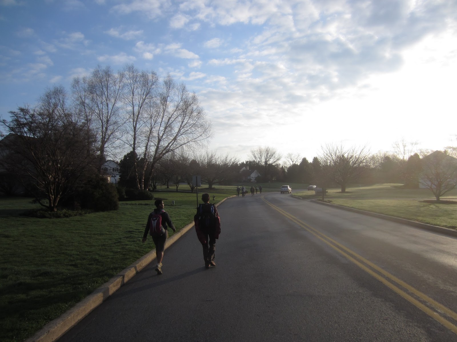
That memorable day in Wales had been our lifetime distance-hiking record (not that we keep records, but you know what I mean) until Saturday, when we tackled the Wilmington Trail Club's annual end-to-end hike of the Brandywine Trail - 36 miles in one day. We were somewhat nervous in the days before the event, worried that we'd have to bail out at twenty miles, or that we couldn't keep up the required pace to meet their checkpoint times, but on both regards we did fine, finishing in about 12.5 hours. Granted, we wobbled around like penguins for a few days afterwards, but it was well worth it. We met so many nice people, all pulling for each other to finish, all bringing interesting stories and experiences of their own, that I can't possibly describe it all here. So hopefully the few pictures I snagged, literally on the run, will tell the story for me. Finally, a special thanks to the Wilmington Trail Club for all their hard work in planning and running this event... we had a great time!
Some notes for retention, since I will quickly forget.
Start: 6:00 am.
Checkpoint 1: 12.9 mi by map, 10:00 am, 30 min ahead of cut-off. Rested about 10 min.
Checkpoint 2: 23.7 mi by map, 1:30 pm, 60 min ahead of cut-off. Rested about 20 min.
Checkpoint 3: 29.5 mi by map, 4:00 pm, 30 min ahead of cut-off. Rested about 20 min.
Finish: 36.3 mi by map, 6:30 pm.
GPS: 37.2 mi, 3.3 mph moving avg, 2.9 mph overall avg. Extra distance from getting off-trail a couple of times.
Group pace was very fast. First section averaged 3.8 mph. You must average about 3 mph overall to safely make the checkpoints, which means you must keep moving all day. Pausing to grab a snack from the backpack, reconfigure clothing, take photos, etc. will quickly leave you behind. Most hikers packed very light and stopped only at the checkpoints for a few minutes to eat, drink, and stretch; many ditched their packs entirely at the last checkpoint. If we did it again, I think we'd lighten up on food and drink, and restock at each checkpoint. Last section was very difficult as muscles tightened and cramped, could feel every stone underfoot. Checkpoint cut-off times are for safety, to ensure that no participant is lost, injured, left behind, or hikes after dark. One hiker was injured (slipped on mud, broken shoulder), all other participants finished the entire distance. Estimated 70-80 people.


No comments:
Post a Comment