April 27, 2013
Section Miles: 13.8 Total Miles: 152.7
5:30 am, and we're sitting in the Capitol Diner in Harrisburg. Rene has that I-know-sumthin-you-don't-know look in her eye. "I forgot to mention, today is the first day of the spring turkey season," she says.
"I'll try my best not to gobble."
"And the mountain we'll be climbing? It's called Stony Mountain."
"Very imaginative."
"And then we walk across something called 'The Devil's Racecourse'." She paused. "I hope there aren't any ticks."
"Any more good news before we start? Rattlesnakes maybe?" Sheesh.
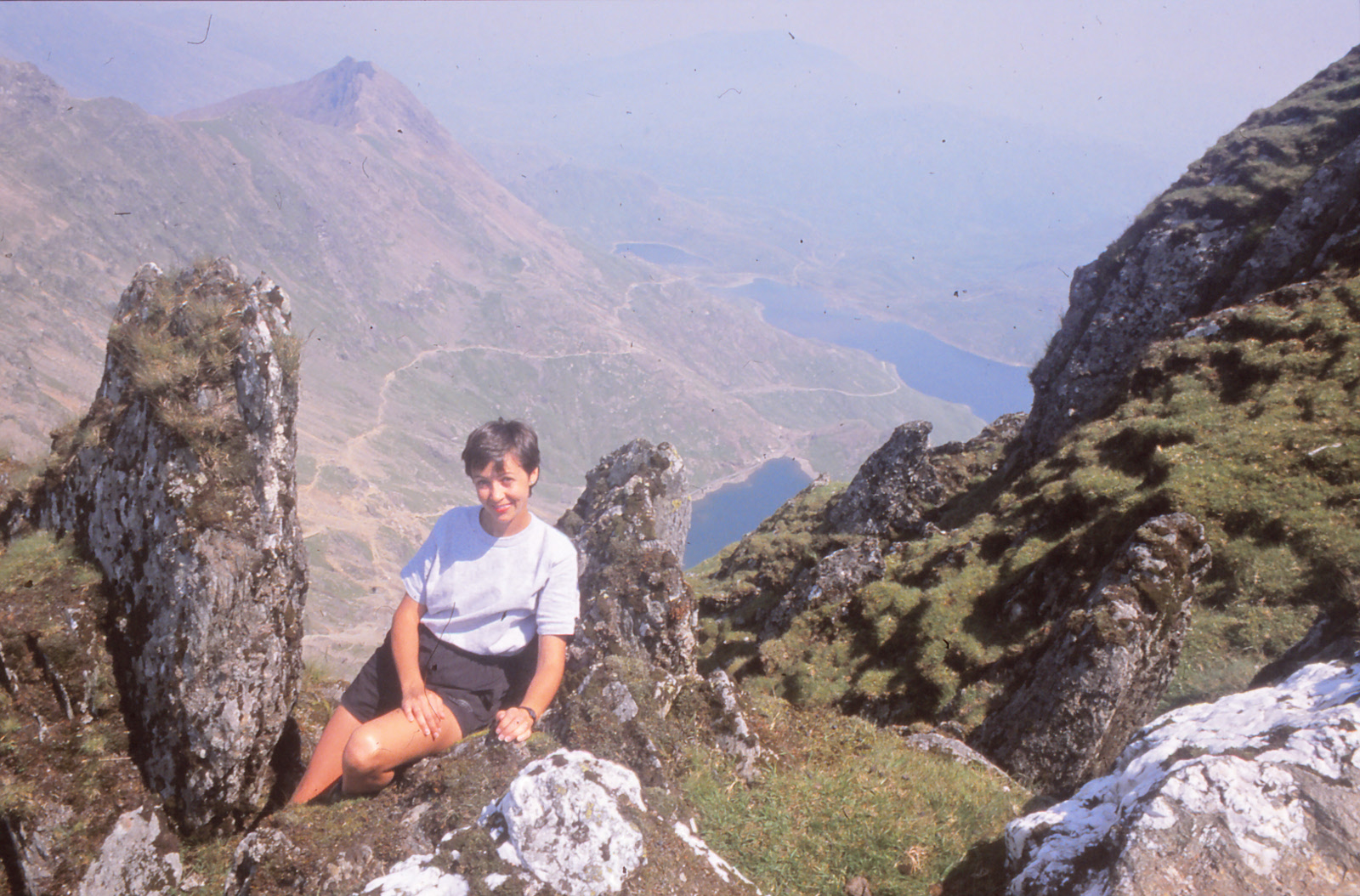
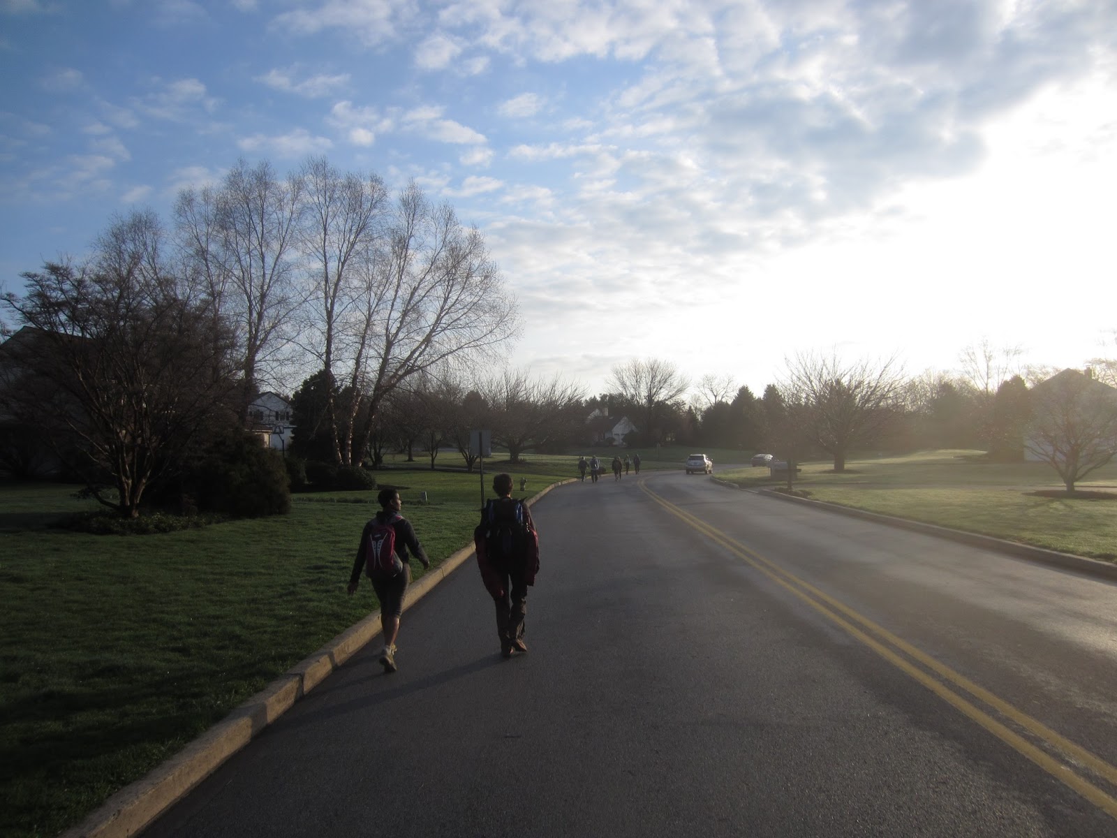
But there was good news. Map 10 is a glorious solid green, all wonderfully off-road as it ascends and descends Second, Sharp, and Stony Mountains to meet up with the Appalachian Trail. The weather was perfect. The Horse-Shoe trail, after 130 miles of getting-there, saved its best for last. Unfortunately, I can't say the same about the photos we took, but that's life.
From the State Game Lands parking area on Fishing Creek you ascend to meet the Horseshoe Trail along the south flank of Second Mountain, steadily climbing up a straight pipeline easement to the crest, then continuing down the north side. A switchback sends you along a couple of miles of dirt logging road before crossing Stony Creek and joining up with a cinder road (former railroad bed) that runs along the valley. A couple of resourceful hunters rolled by us on their mountain bikes, all tricked out for turkey season. The woods here are quite different from the straggly, sapling cloaked ridges above you. The valley is covered in dark, thick forests of hemlock and mountain laurel, splintered by shafts of sunlight reflecting off of moss-covered rock and occasional pools of water. The AT hikers, sadly, miss out on this beautiful environment, as their trail doggedly clings to the ridge line on its mad dash to Maine.
From the creek, you begin your ascent to the junction with the Appalachian trail along Rattling Run. It's not far - maybe 2 miles - and you follow an old stagecoach road, all of which sounded very promising to me. A nice little stroll, perhaps. I was somewhere far beyond wrong about this. I want to know who, in their right mind, runs a stagecoach road straight up the side of a cliff. In the winter you could ski down this thing. Which probably made for some very lively coach rides, I'm thinking, when the luggage and the people arrived before the horses. We managed to reach the summit by plodding slowly along and taking frequent breaks and swearing to hit the gym in earnest when we got home. Or maybe just swearing, in my case.
But honestly, I wouldn't have it any other way. Tackling one last, difficult climb before stepping foot on the AT was the perfect ending for our trek. We rested on a well-used rock overlook, recorded our finish in the trail register, ate lunch and celebrated our achievement with chocolate cupcakes, all the while conveniently ignoring the fact that we still had 3.5 miles to go (on the AT) before we reached our car. But I'll leave it there. This, after all, is about the Horse-Shoe trail: a friendly, not-to-difficult, historically interesting jaunt from Mt. Misery in Valley Forge to Stony Mountain. If you have a few spare weekends laying around, give it a try!


