Monday, April 29, 2013

Horse-Shoe Trail Section 10 - The End!

State Game Lands 211 to the Appalachian Trail... and then some.
April 27, 2013
Section Miles: 13.8      Total Miles:  152.7


5:30 am, and we're sitting in the Capitol Diner in Harrisburg.  Rene has that I-know-sumthin-you-don't-know look in her eye. "I forgot to mention, today is the first day of the spring turkey season," she says.

"I'll try my best not to gobble."

"And the mountain we'll be climbing?  It's called Stony Mountain."

"Very imaginative."

"And then we walk across something called 'The Devil's Racecourse'." She paused.  "I hope there aren't any ticks."

"Any more good news before we start? Rattlesnakes maybe?"  Sheesh.


But there was good news. Map 10 is a glorious solid green, all wonderfully off-road as it ascends and descends Second, Sharp, and Stony Mountains to meet up with the Appalachian Trail. The weather was perfect.  The Horse-Shoe trail, after 130 miles of getting-there, saved its best for last.  Unfortunately, I can't say the same about the photos we took, but that's life.


From the State Game Lands parking area on Fishing Creek you ascend to meet the Horseshoe Trail along the south flank of Second Mountain, steadily climbing up a straight pipeline easement to the crest, then continuing down the north side. A switchback sends you along a couple of miles of dirt logging road before crossing Stony Creek and joining up with a cinder road (former railroad bed) that runs along the valley.  A couple of resourceful hunters rolled by us on their mountain bikes, all tricked out for turkey season. The woods here are quite different from the straggly, sapling cloaked ridges above you.  The valley is covered in dark, thick forests of hemlock and mountain laurel, splintered by shafts of sunlight reflecting off of moss-covered rock and occasional pools of water.  The AT hikers, sadly, miss out on this beautiful environment, as their trail doggedly clings to the ridge line on its mad dash to Maine.  


From the creek, you begin your ascent to the junction with the Appalachian trail along Rattling Run.  It's not far - maybe 2 miles - and you follow an old stagecoach road, all of which sounded very promising to me.  A nice little stroll, perhaps.   I was somewhere far beyond wrong about this.  I want to know who, in their right mind, runs a stagecoach road straight up the side of a cliff.  In the winter you could ski down this thing. Which probably made for some very lively coach rides, I'm thinking, when the luggage and the people arrived before the horses.   We managed to reach the summit by plodding slowly along and taking frequent breaks and swearing to hit the gym in earnest when we got home.  Or maybe just swearing, in my case.  


But honestly, I wouldn't have it any other way.  Tackling one last, difficult climb before stepping foot on the AT was the perfect ending for our trek.  We rested on a well-used rock overlook, recorded our finish in the trail register, ate lunch and celebrated our achievement with chocolate cupcakes, all the while conveniently ignoring the fact that we still had 3.5 miles to go (on the AT) before we reached our car.  But I'll leave it there.  This, after all, is about the Horse-Shoe trail: a friendly, not-to-difficult, historically interesting jaunt from Mt. Misery in Valley Forge to Stony Mountain.  If you have a few spare weekends laying around, give it a try!


Sunday, April 28, 2013

Horse-Shoe Trail Section 9

Boat House Park to State Game Lands 211
April 26, 2013
Section Miles: 17.5      Total Miles:  138.9

Rene and I are now on the last two sections of the trail, far enough from home that we planned an overnight stay in Harrisburg to finish up.  We're excited to once again step foot on the Appalachian Trail, this time being able to say that we walked "from Philadelphia" (basically, in round numbers).  But first, we have to continue across the valley northwest of Hershey and head for Blue Mountain.  We arrived at Boat House Park bright and early in the morning, only to find the entrance completely blocked by a road grader.  I was already moving on to Plan B, which involved lots of pancakes and coffee at a local diner, but Rene quickly dipped into the well of girl-logic, deftly hid the Mini behind a porta-potty, and off we went with our fingers crossed that it would still be there at the end of the day.


From the park you cross over Swatara Creek on the road and then immediately head off onto the grassy floodplain, hiking just far enough to get completely soaked through before squelching your way back on to the roads.   A mile or two of  roads brings you to a recent reroute across private lands, following along a woodchuck-riddled pasture edge  for a considerable distance and then into a brief section of woods before returning to the roads.  As always, our sincerest thanks to the landowners for generously allowing hikers to pass through.  At the end of this pastoral interlude you will come across the Balsbaugh family cemetery (ca. 1773-1857).  The Balsbaughs, it seems, were in Hershey long before Hershey.  


Next comes the dreaded, long, long stretch of road walking, made even longer by a detour around some bridge construction.  Don't get me wrong, some of the views were lovely, but pounding the hard pavement over long distances has taken its toll and our joints are complaining of late. Rene took this opportunity to stop and smooch the horses, first making friends with an old farm horse by feeding it an apple (cheating!) and then cozying up to some thoroughbreds.  Note to self: do not encourage this behavior.  


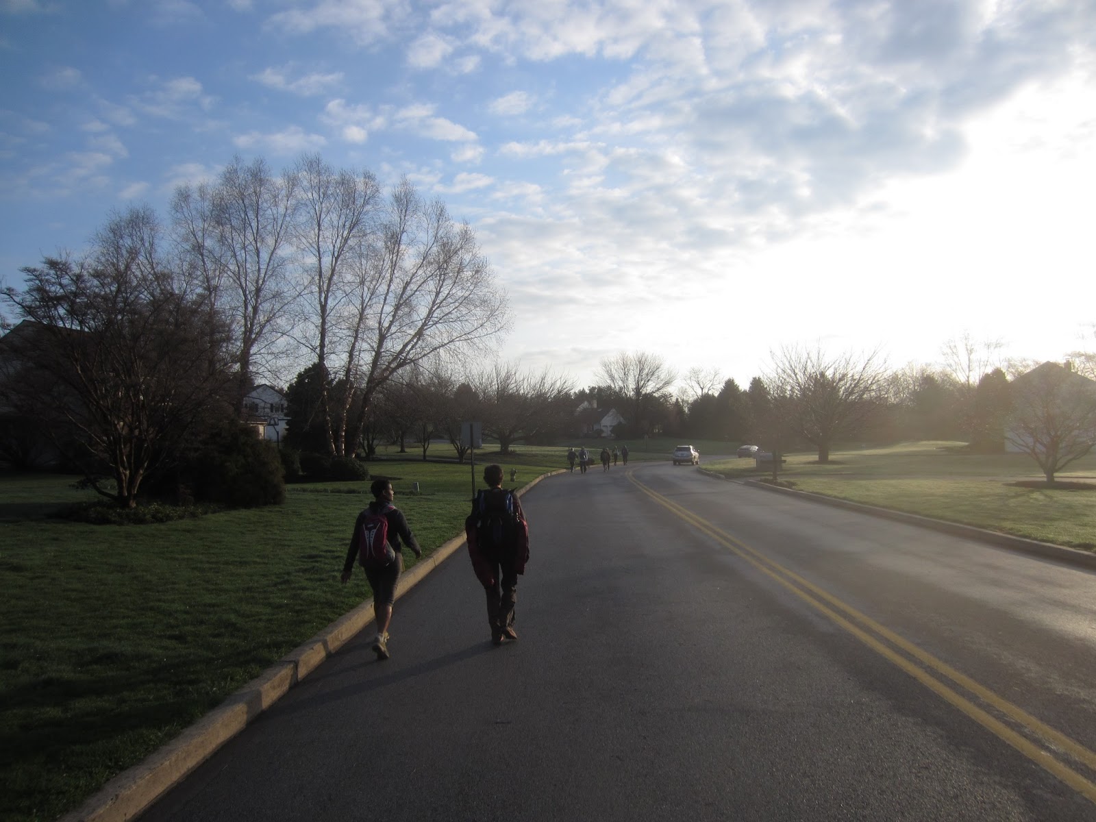
At long last you reach the edge of the valley and make your way into the Applachians, following roads through Manada Gap in Blue Mountain, skirting the edge of Fort Indiantown Gap Military Reservation (with suitably dire warnings not to step off the trail), passing through lands owned by the Harrisburg Motorcycle Club, before finally entering the State Game Lands along the eastern flank of Second Mountain.  To get a sense of scale, if you look at the photo of Rene hiking down the road, above, that's a typical Pennsylvania ridge on the horizon.  We're not talking the Alps here, but that's enough of a hill that your legs and lungs definitely take notice on the way up.  But most of our climbing is for tomorrow.  Today we dropped down off of Second Mountain into the parking lot at State Game Lands 211, and then headed into Harrisburg for a long soak in a hotel hot tub, followed by dinner and a beautiful evening stroll down the Susquehanna River


Monday, April 22, 2013

Horse-Shoe Trail Section 8

State Game Lands 145 to Boat House Park
April 21, 2013
Section Miles: 18.2      Total Miles:  121.4

A week after our marathon hike of the Brandywine we found ourselves back on the Horse-Shoe trail, still nursing a few stiff joints and sore muscles.  We were accompanied once again by our friends Jill and Rick, who had spent the previous day cutting up a storm-damaged tree and spreading mulch, so between the four of us we creaked along at a rather stately pace (as we'll call it).  The day was bright and sunny, but a steady, brisk wind kept things on the chilly side.


Section 8 starts out on game lands, where we hopscotched along a rutted, muddy road for much of the way, crossing through some areas of recent logging activity.  After four miles (or so) the trail becomes mostly road walking, leading you into the town of Hershey.  You skirt just north of town, through lands of the Hershey Estate, across some of the grounds of the Milton Hershey School, along the edge of the golf course for a bit, past the Hershey cemetery, finally returning to a patch of woods for one last mile before reaching Boat House Park.


I wish I could say this was all very interesting, but to be honest, if I were to recommend one section of the HST for people to hike, it probably would not be this one. As always, there were a few memorable moments.  We met an entire herd of friendly Rhodesian Ridgebacks, Bouviers, Labs, and Standard Poodles out for a slobbery explore with their owners.  Walking through one of the subdivisions we were nipped at by some sort of sputtering, yapping, miniature dog having a hiker seizure.  The grounds of the Hershey School were a scene right out of the twilight zone:  perfectly appointed landscaping, tidy housing, cars neatly parked in driveways, and not a single person to be seen anywhere... and we're talking miles. Not even any sound. It was like everybody just vanished.  Alien abduction, I'm thinking.   Naturally, we took full advantage of the situation by catching a nap on their unattended hay bales in the fields (amazingly comfortable, I might add).


Lastly, this is Hershey.  I mean, come on, you just have to go to Chocolate World and take the tour while you're in town.  And if by pure chance the official Weinermobile is parked there? That, my friends, is an awesome day.        


Friday, April 19, 2013

And now for something completely different.

Saturday, April 13, 2013

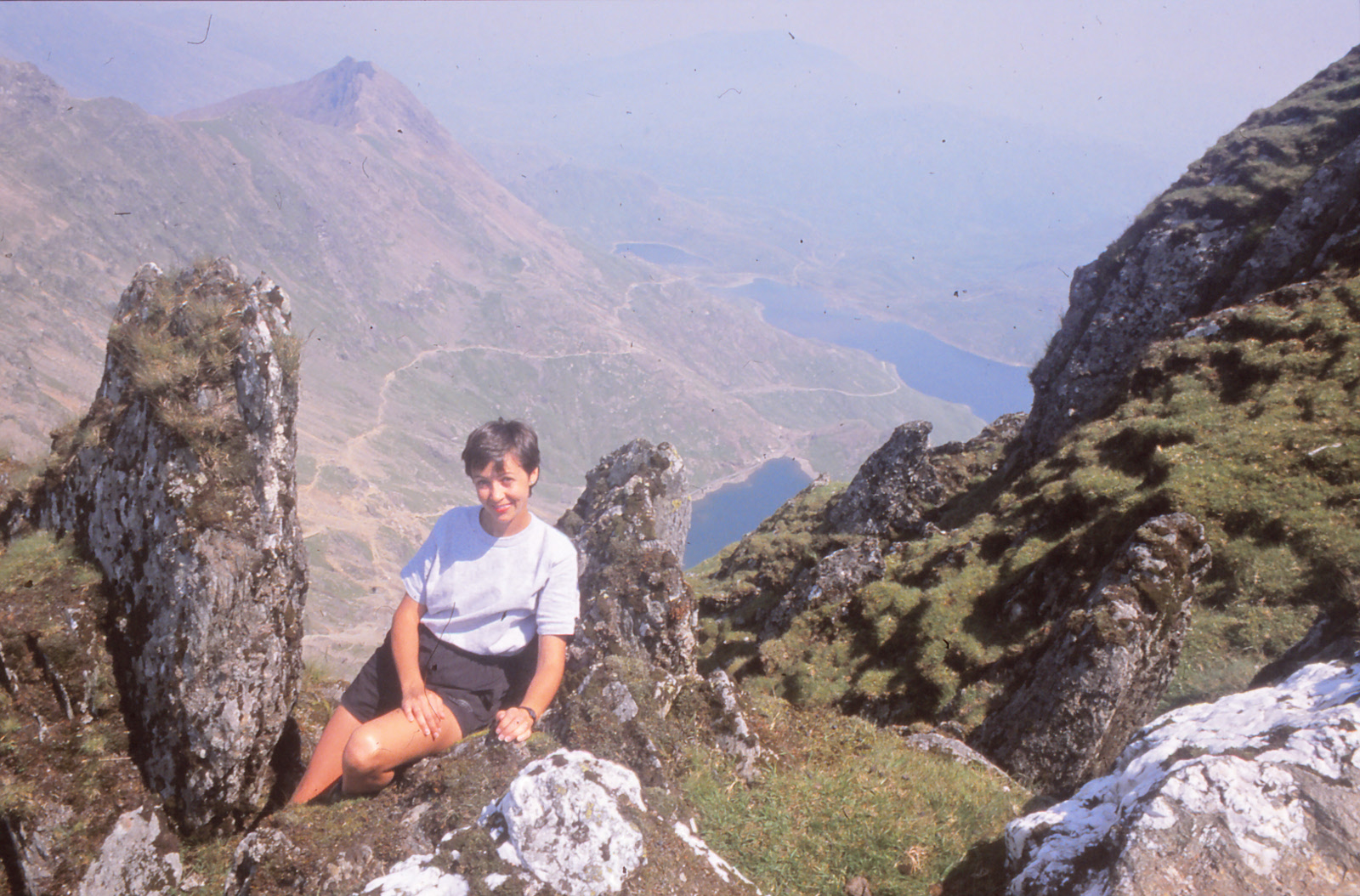
Twenty some years ago, when we were, um... in our teens, Rene and I clambered to the top of Snowdon, the highest mountain in Wales at some 3560 ft. above sea level.   While lounging around on the summit with some other hikers (on what was a spectacularly beautiful day) we learned that a bus ran around the base of the mountain, meaning we could descend by a completely different route and catch a ride back to our car.  Fabulous!  We headed down the opposite flank of the mountain, soaking up all the new views along the way, and arrived at the base around 5:00 pm.  Sadly, the last bus ran at 4:30.  We had no choice but to make the long trek around the bottom of the mountain, finally reaching the car about 10:00 pm. (still daylight at those latitudes).  I don't really know the exact miles we put in that day... we think it was about 24, but it seemed like 100.


That memorable day in Wales had been our lifetime distance-hiking record (not that we keep records, but you know what I mean) until Saturday, when we tackled the Wilmington Trail Club's annual end-to-end hike of the Brandywine Trail - 36 miles in one day.  We were somewhat nervous in the days before the event, worried that we'd have to bail out at twenty miles, or that we couldn't keep up the required pace to meet their checkpoint times, but on both regards we did fine, finishing in about 12.5 hours.  Granted, we wobbled around like penguins for a few days afterwards, but it was well worth it.  We met so many nice people, all pulling for each other to finish, all bringing interesting stories and experiences of their own, that I can't possibly describe it all here.  So hopefully the few pictures I snagged, literally on the run, will tell the story for me.   Finally, a special thanks to the Wilmington Trail Club for all their hard work in planning and running this event... we had a great time!

Some notes for retention, since I will quickly forget. 

Start: 6:00 am. 

Checkpoint 1: 12.9 mi by map, 10:00 am, 30 min ahead of cut-off.  Rested about 10 min.  

Checkpoint 2: 23.7 mi by map, 1:30 pm, 60 min ahead of cut-off.  Rested about 20 min. 

Checkpoint 3: 29.5 mi by map, 4:00 pm, 30 min ahead of cut-off.  Rested about 20 min. 

Finish: 36.3 mi by map, 6:30 pm.  

GPS: 37.2 mi, 3.3 mph moving avg, 2.9 mph overall avg. Extra distance from getting off-trail a couple of times.

Group pace was very fast. First section averaged 3.8 mph. You must average about 3 mph overall to safely make the checkpoints, which means you must keep moving all day.  Pausing to grab a snack from the backpack, reconfigure clothing, take photos, etc. will quickly leave you behind.  Most hikers packed very light and stopped only at the checkpoints for a few minutes to eat, drink, and stretch; many ditched their packs entirely at the last checkpoint.  If we did it again, I think we'd lighten up on food and drink, and restock at each checkpoint.  Last section was very difficult as muscles tightened and cramped, could feel every stone underfoot. Checkpoint cut-off times are for safety, to ensure that no participant is lost, injured, left behind, or hikes after dark.  One hiker was injured (slipped on mud, broken shoulder), all other participants finished the entire distance.  Estimated 70-80 people.